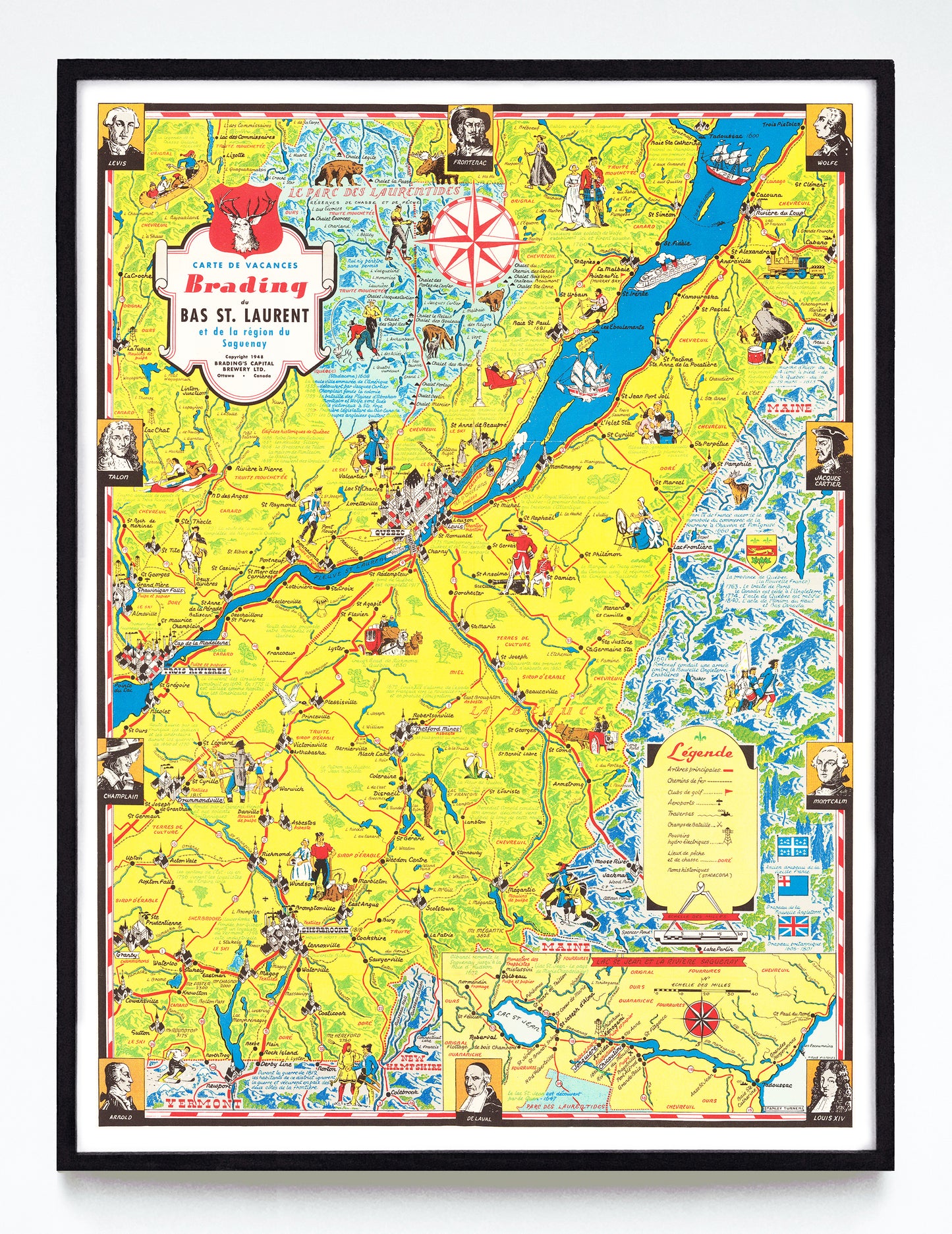
“Carte de Vacances Bradings du Bas St. Laurent et de la Région du Saguenay (et du Québec)” print by Stanley Turner (1948)
“Carte de Vacances Bradings du Bas St. Laurent et de la Région du Saguenay (et du Québec)” print by Stanley Turner (1948)
Couldn't load pickup availability
Stanley Turner had a very busy decade in the 1940s, a time when that OCAD alumnus and Associate of the Royal Canadian Academy of Arts was at the top of his game and completed many war-related commissions for various government information bureaus. After the war he put his time into three very detailed maps of Ontario and Québec advertising Brading's now long-gone brewery. This is the third of them, and while the City of Québec didn't quite make it into the the maps's title, it plays a central and pictorial role in it in cartoonish isometric style. Also making a cameo: reasonably sized depictions of Trois Riviéres, Sherbrooke, and Drummondville, along with a half dozen other cutely-sized towns.
A reproduction available at 12x16" or 18x24" on Epson Enhanced Matte 192 gsm paper printed with Epson UltraChrome XD2 archival ink. Sold in an open edition, unframed. From this public domain object found in the David Rumsey Map Collection.


