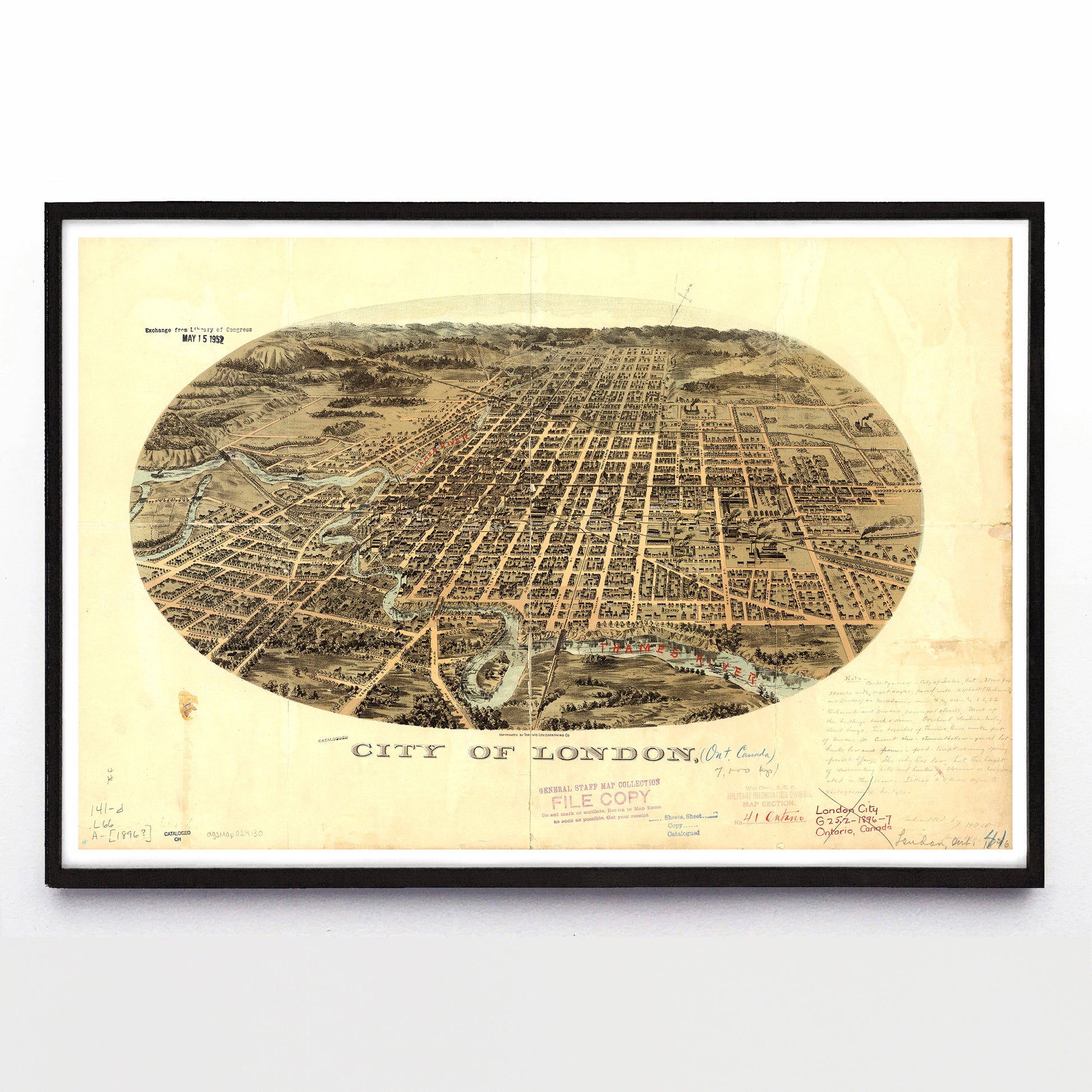
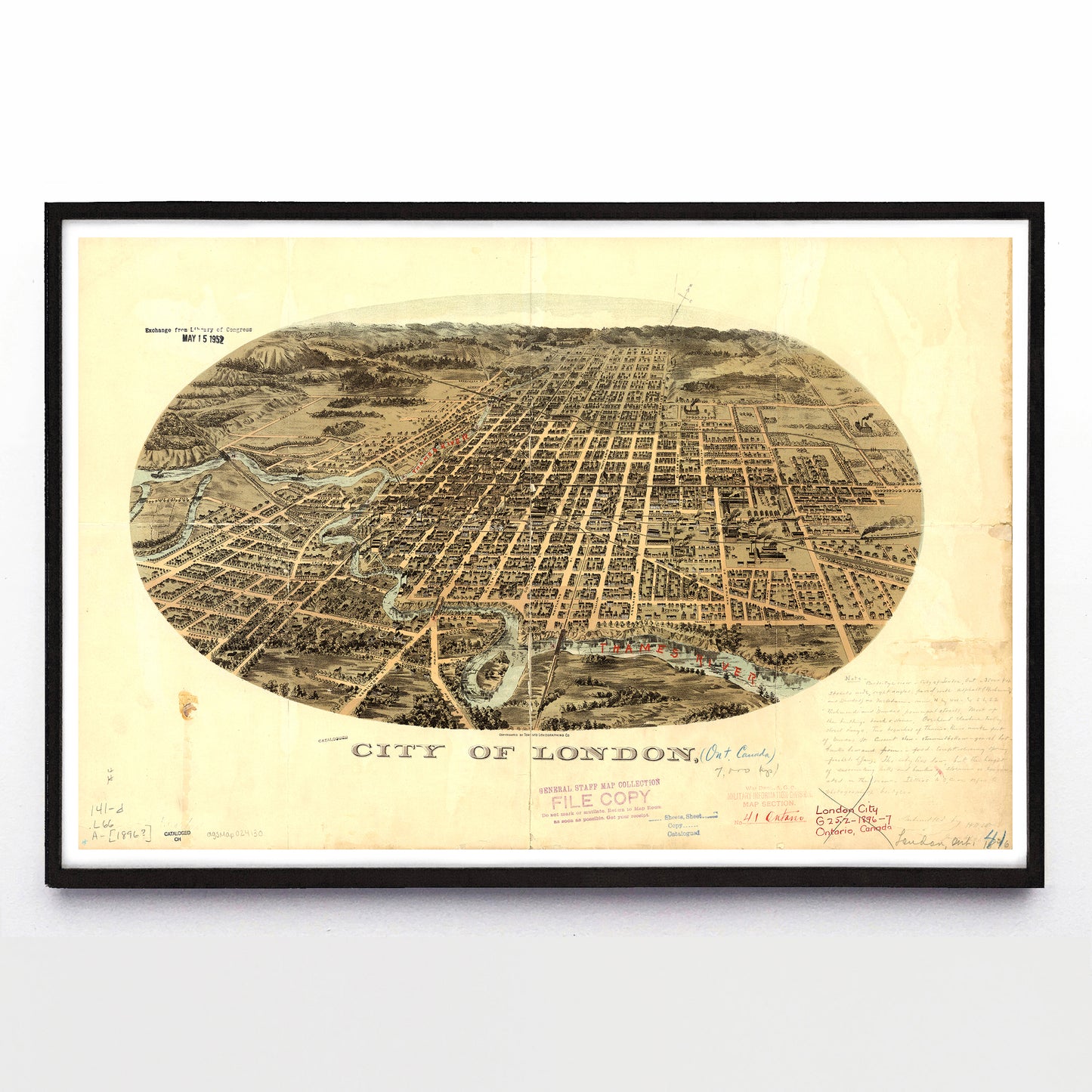
"City of London" print by the Toronto Lithographing Co. (1896)
"City of London" print by the Toronto Lithographing Co. (1896)
Pickup available at 2679 Rue Wellington
Usually ready in 2-4 days
This deluxe Toronto Lithographing Co. print of London, Ontario, went on a southern adventure soon after publication. Stamps in its bottom margin show its progress through the American War Department Information Division and the US Army’s General Staff map collections. While images like this typically ended up in local hands, a visiting intelligence analyst used this copy to record London features that might help or hinder the movement of an invading army.
To quote their handwritten note at bottom right: “35,000 Pop. Streets wide, right angles, paved with asphalt (Richmond and Dundas) or macadam and run N by NW and S by SE. ‘Richmond’ and ‘Dundas’ principal streets. Most of the buildings brick and stone. Overhead electric trolley street ways. Two branches of Thames River unite [at the] foot of Dundas Street. Current slow, streams shallow, gravel but bank low and firm. Ford except during spring… The city lies low, but the height of surrounding hills and banks of stream is exaggerated in the view.”
The writer has also labelled the Thames River and bridges over it with red pencil, and mentioned having photographs of the bridges for future army needs. Sometime before 1952 this bird’s eye view left the General Staff and became part of the American Library of Congress in Washington, DC, after which it retired to the American Geographic Society Library in Milwaukee.
A reproduction available at 18x12" or 36x24" on Epson Enhanced Matte 192 gsm paper printed with Epson UltraChrome XD2 archival ink. Sold in an open edition, unframed. Based on this original public domain image held by the University of Milwaukee Wisconsin Map Collection.


