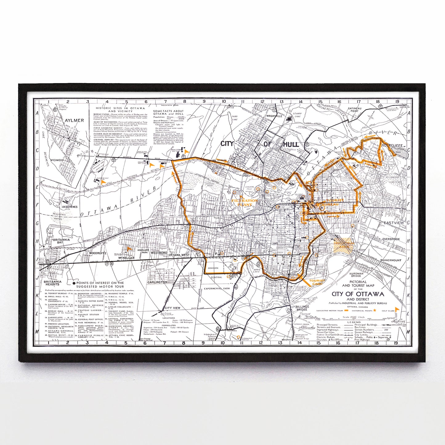
“Pictorial and Tourist Map of the City of Ottawa” by Ottawa's Industrial & Publicity Bureau (1940)
“Pictorial and Tourist Map of the City of Ottawa” by Ottawa's Industrial & Publicity Bureau (1940)
Regular price
$60.00 CAD
Regular price
Sale price
$60.00 CAD
Unit price
per
Shipping calculated at checkout.
Couldn't load pickup availability
Besides being a handsome oversized map of the City of Ottawa made in 1940 by that city's Industrial and Publicity Bureau, that orange line shows a "suggested motor tour" route of Ottawa and Hull, and the box at bottom left gives a list of worthwhile stops. Included in that list of worthwhile stops: the Masonic Hall, National Revenue Building, and Royal Mint. Someone please take the tour route and let me know if it's still fun eighty-some years later.
A reproduction available at 18x12” or 36x24” on Epson Enhanced Matte 192 gsm paper printed with Epson UltraChrome XD2 archival ink. Sold in an open edition, unframed. Based on this original public domain image held by the University of Milwaukee Wisconsin Map Collection.


