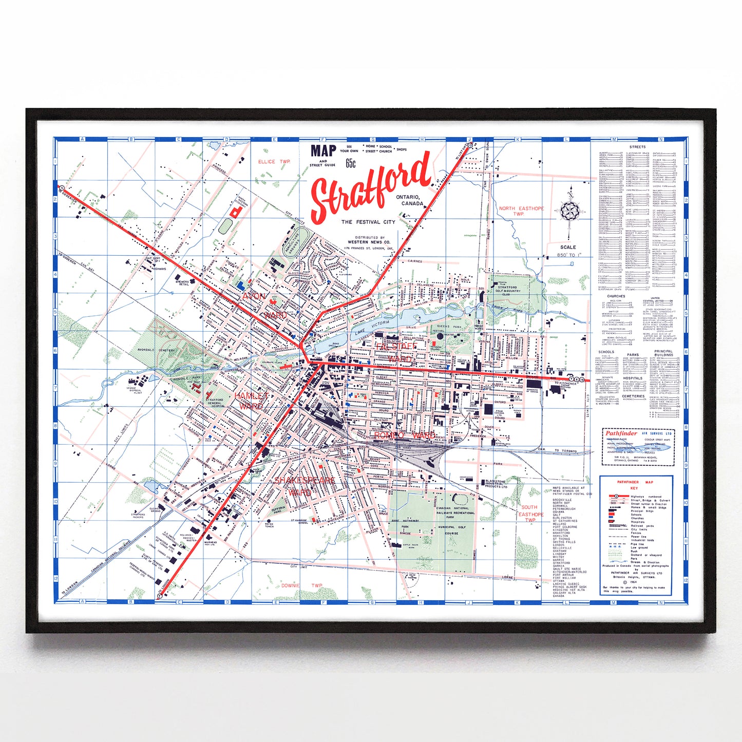
“Stratford: the Festival City” print by Pathfinder Air Surveys Ltd. (1964)
“Stratford: the Festival City” print by Pathfinder Air Surveys Ltd. (1964)
Couldn't load pickup availability
Pathfinder Air Surveys Ltd. of Ottawa spent most of the mid-1960s making a few dozen Canadian city maps using a crisp mid-century template, some of which are noted next to the map key at bottom right. Dale Moulton (a longtime-employee and the current owner of Pathfinder) explained to me that "those old pre-digital era maps were so time-consuming. We counted the homes on streets using air photos, and then each individual representation square was drawn with a square-tipped pen. If the pen smudged we would lose hours of work!"
That attention to detail shows. The delightfully tight “Stratford” title type is expertly scripted, and Stratford’s charms (including neighbourhoods that were, at the time, named with Shakespearean references) make this one of my favourites. Also of note: the CNR Yards in sector H9, closed the year this map was made. Pathfinder continues, though, and you can see what they're up to these days right here.
A reproduction available at 16x12" or 24x18" on Epson Enhanced Matte 192 gsm paper printed with Epson UltraChrome XD2 archival ink. Sold in an open edition, unframed. Restored from this digital file found in the York University Digital Library. Reproduced with the permission of Pathfinder Maps.


