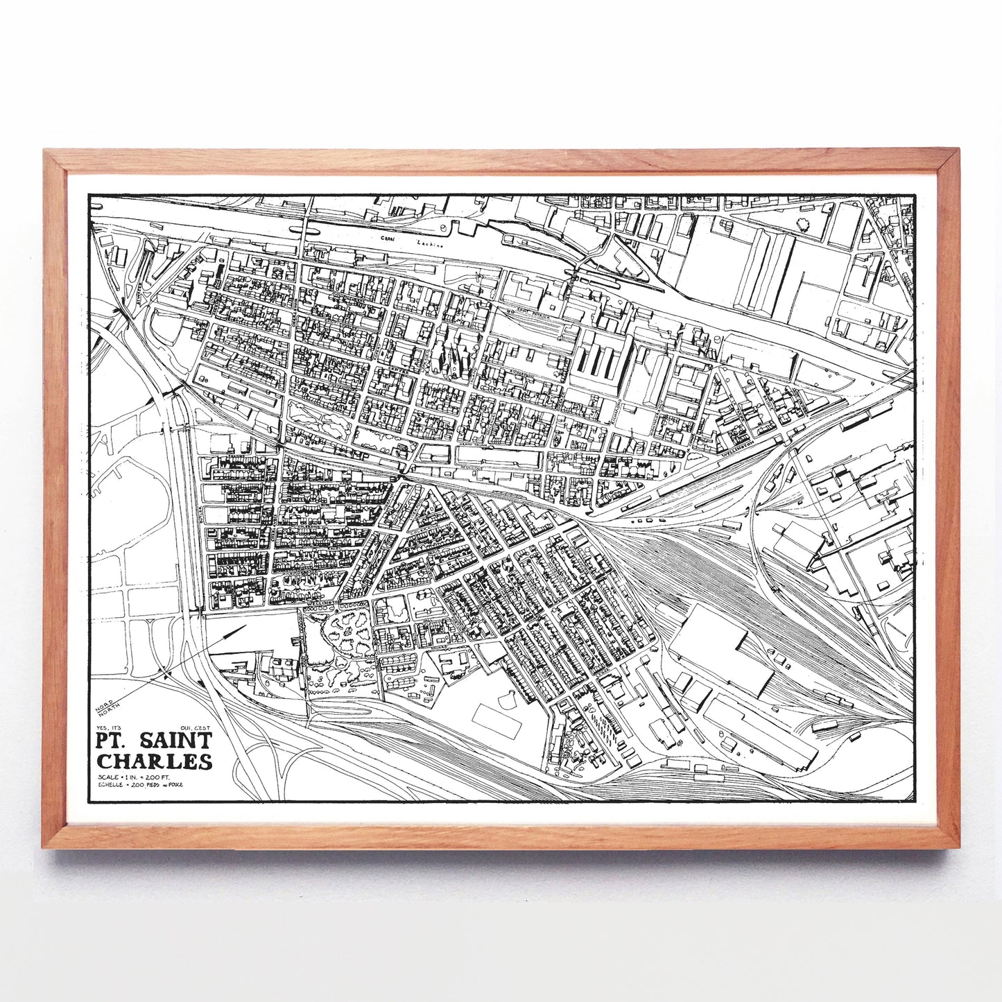
“Yes, It's/Oui, C'est Pt. Saint Charles (Montréal)” print by Sjipkes & Carter (1972)
“Yes, It's/Oui, C'est Pt. Saint Charles (Montréal)” print by Sjipkes & Carter (1972)
Couldn't load pickup availability
If you’ve ever walked down Rue Wellington in the southwest Montréal neighbourhood of Pointe St-Charles, you’ve probably seen Pieter Sijpkes’ home—it’s the older-than-a-century bank building with 35’ ceilings, somewhat shabby but with a freshly repainted decorative wooden archway and piles of architectural salvage in the yard. It occasionally hosts community theatre and performances by independent musicians, and if you had the time to sift through the art objects and paper ephemera he keeps inside, you’d find a copy of this black and white throwback to bird’s eye view mapmaking.
Its casual bilingual title hides its original purpose: back in 1972 the Dutch expat (who fell in love with Montréal while visiting Expo 67) and his classmate Joe Carter (who more than dabbled in the visual arts) were among a handful of McGill students who adopted the very down-and-out Pointe and sought to improve the lives of its residents. For Sijpkes and Carter this meant mapping the neighbourhood for vacant spaces that could be turned into social housing.
The Pointe’s borders are clearly shown by the Lachine Canal up top, Autoroute 15 at left, CN railyards at bottom and bottom right, and the Peel Basin is just off the map at right. Carter drew, Sijpkes collected information, and as of 2012 fourty per cent of the Point’s housing was still classified as social housing. Sjipkes himself remains a professor of architecture at McGill and cycles daily, and Carter spent three decades teaching architecture in China before returning to Canada and continuing his private practice.
A reproduction available at 16x12" or 24x18" on Epson Enhanced Matte 192 gsm paper printed with Epson UltraChrome XD2 archival ink. Sold in an open edition, unframed. Reproduced with the permission of Sjipkes & Carter.


